GIS-ը՝ ՍՄԱՐԹ կենտրոնի կրթակարգի առանցքում
*Ce blog a été traduit à l’aide de l’IA

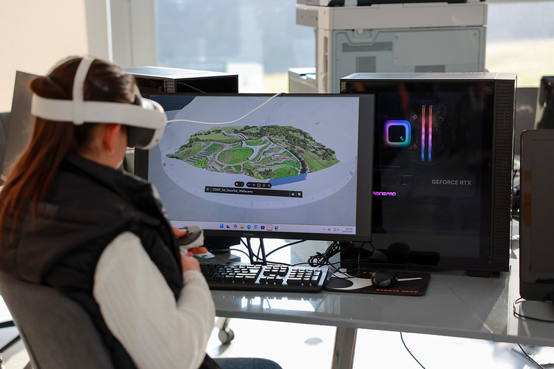
Այն, ինչ սկսվեց որպես ՔՈԱՖ համայնքի աջակցությամբ իրականացվող նախաձեռնություն, այսօր դարձել է ՍՄԱՐԹ կենտրոնի կրթակակարգի առանցքային բաղադրիչներից մեկը։ Աշխարհագրական տեղեկատվական համակարգերի (GIS) ծրագիրը հաջողությամբ եզրափակում է իր առաջին կիսամյակը՝ ներգրավելով երեխաներին տվյալահեն մի ոլորտում, որտեղ իրենց շրջապատող աշխարհը վերածվում է կենդանի թվային մոդելի։
Երկարաժամկետ ազդեցություն
Անցած տարվա օգոստոսին ՔՈԱՖ-ը հայտարարեց դրամահավաք՝ GIS ծրագիրը ՔՈԱՖ ՍՄԱՐԹ կենտրոնում գործարկելու նպատակով. ծրագիր, որն անդրադառնում է տեխնոլոգիական ոլորտի զարգացումներին՝ միաժամանակ արձագանքելով տեղական կարիքներին։ GIS-ը ամբողջ աշխարհում արագ զարգացող ոլորտ է, իսկ Հայաստանի համայնքներում այն նաև կարևոր գործիք է, որն օգնում է երիտասարդներին հասկանալու իրենց միջավայրը և գիտակցված պլանավորելու ապագան։
Տվյալները և առօրյան համադրող ուսումնառություն
Այսօր լոռեցի երիտասարդները հնարավորություն ունեն ներգրավվելու վերափոխող ուսումնական գործընթացում։ GIS ծրագրի միջոցով ուսանողները.
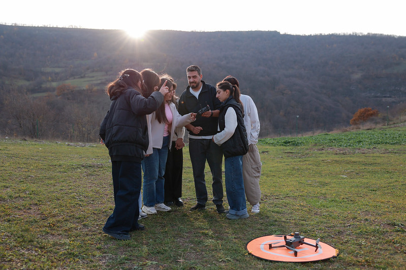
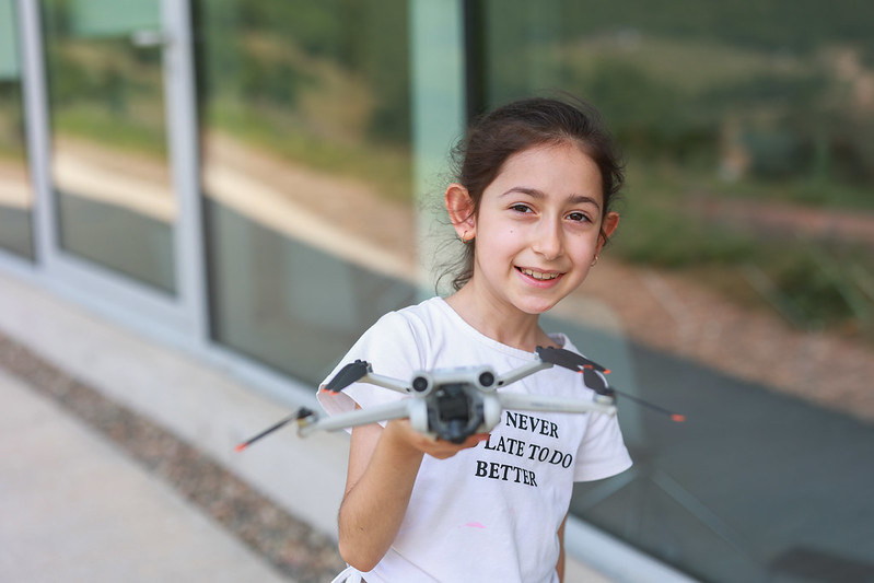
- աշխատում են դրոնների և արբանյակային տվյալների հետ՝ աջակցելով ճշգրիտ գյուղատնտեսությանը
- քարտեզագրում են ջրհեղեղների և երկրաշարժերի ռիսկերը՝ նպաստելով համայնքային պատրաստվածությանը,
- բացահայտում են ենթակառուցվածքային բացերը և առաջարկում համապատասխան լուծումներ,
- իրենց բնակավայրերը սկսում են դիտարկել որպես փոխկապակցված համակարգեր՝ վերաիմաստավորելով դրանք տվյալների և ստեղծագործականության միջոցով։
Հմտություններ՝ ապագայի համար
Կանխատեսվում է, որ hամաշխարհային GIS համակարգերի շուկայական արժեքը 2032 թ․-ին կգերազանցի 21 միլիարդ ԱՄՆ դոլարը, իսկ ոլորտի մասնագետների պահանջարկը կշարունակի աճել։ Այս ներդրումը Հայաստանի համայնքների երիտասարդներին հնարավորություն է տալիս ոչ միայն փոփոխվող աշխարհին համընթաց քայլել, այլև մրցունակ դիրք զբաղեցնել այնտեղ՝ միաժամանակ խթանելով երկրի զարգացմանը։
Ծրագրի շրջանակում երեխաները նոր հմտություններ են ձեռք բերում, բացահայտում ապագայի մասնագիտությունները և ներդրում ունենում սեփական համայնքների զարգացման գործում։
Շնորհակալ ենք
Ծրագրի իրականացումը հնարավոր դարձավ ՔՈԱՖ-ի նվիրված համայնքի շնորհիվ։ «Դեպի դպրոց» դրամահավաք-արշավի ընթացքում հավաքագրվեց ավելի քան 125,000 ԱՄՆ դոլար, ինչի արդյունքում GIS-ը իր արժանի տեղը գտավ ՍՄԱՐԹ կենտրոնի կրթակարգում։
Շնորհակալ ենք վստահելու, հավատալու և այս խոստումնալից ծրագրի գործարկմանն աջակցելու համար։
Վերջին հոդվածներ